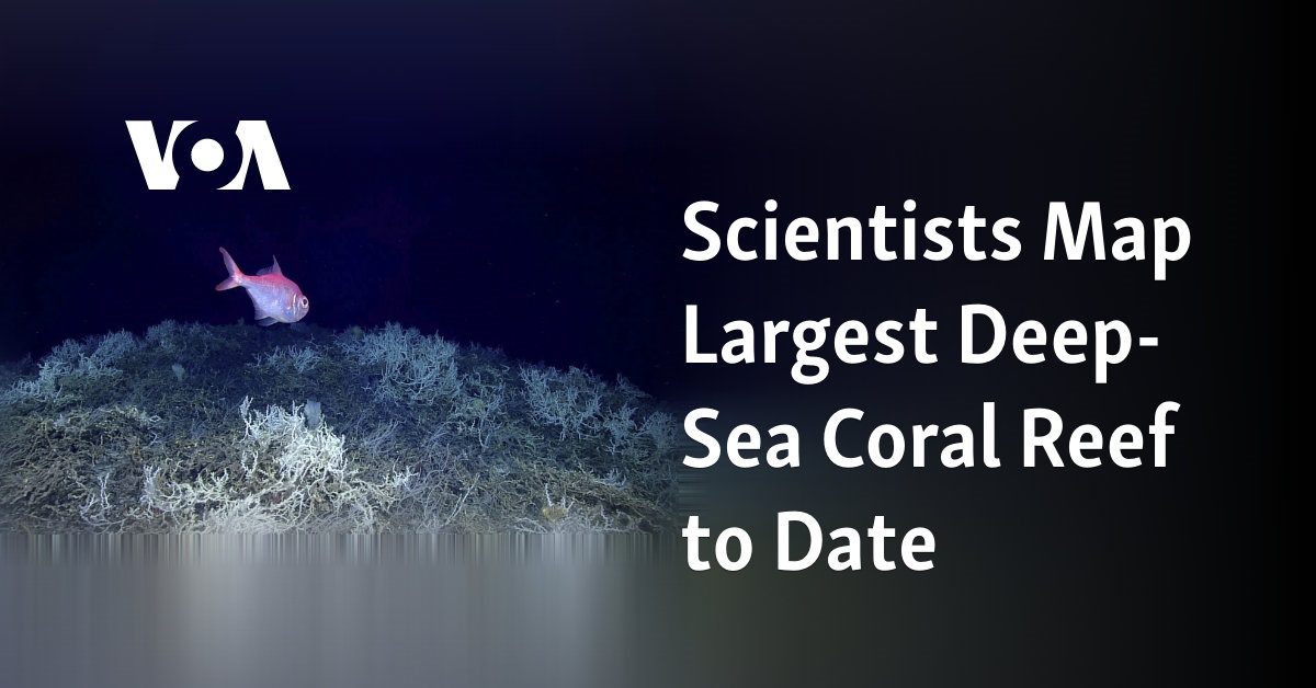
The most extensive deep-sea coral reef discovered by scientists so far has been successfully mapped.

Researchers have charted the extensive coral reef located deep under the waters of the U.S. Atlantic Coast, spanning hundreds of miles.
Since the 1960s, scientists have been aware of the existence of coral in the Atlantic. However, the exact size of the reef remained unknown until recent advancements in underwater mapping technology allowed for the creation of 3D representations of the ocean floor.
According to Derek Sowers, an oceanographer from the nonprofit Ocean Exploration Trust, the biggest deep coral reef known to date has been hidden in plain sight, just waiting to be uncovered.
Sowers and other researchers, along with several from the National Oceanic and Atmospheric Administration, have recently released maps of the reef in the publication Geomatics.
The reef spans approximately 310 miles (499 kilometers) from Florida to South Carolina and in certain areas, it stretches up to 68 miles (109 kilometers) wide. It covers an area nearly three times larger than Yellowstone National Park.
Stuart Sandin, a marine biologist at the Scripps Institution of Oceanography, described the findings as “mind-blowing” and “impressive in scope.” He was not a part of the research team.
The coral reef was discovered at varying depths, between 655 feet and 3,280 feet (200 meters and 1,000 meters), where there is no sunlight. Unlike warm water coral reefs, which rely on photosynthesis for growth, this coral must extract nourishment from the water for sustenance.
The researchers stated that deep coral reefs serve as a home for various marine animals such as sharks, swordfish, sea stars, octopus, shrimp, and numerous other fish species.
Tropical reefs are more well-known to both scientists and snorkelers due to their increased accessibility. The Great Barrier Reef in Australia, which spans approximately 1,430 miles (2,301 kilometers), is recognized as the world’s largest tropical coral reef system.
Sowers suggested the potential for finding bigger deep-sea reefs in the future, as only 75% of the Earth’s ocean floor has been accurately charted. In comparison, only 50% of the United States’ offshore waters have been mapped. High-resolution sonar equipment mounted on ships is used to create these maps of the ocean floor.
According to marine biologist Erik Cordes, who co-authored a recent study, deep reefs and tropical reefs are equally vulnerable to potential dangers such as climate change and disruption caused by oil and gas drilling. These two types of habitats occupy a significant portion of the ocean floor.
Source: voanews.com


